 |
ZOTZ TRIP REPORTS
|
|
JALISCO CAVES 2005
El Carro Cave
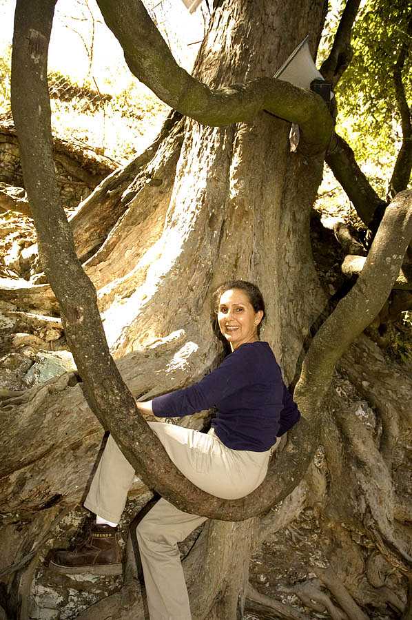
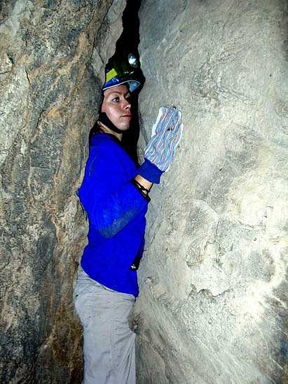
October 22, 2005. While on a mission to find “expensive, isolated haciendas” for a wealthy Saudi whose name shall not be mentioned, we visited a rancho near Nextipac. There we chatted with two boys named Raul and Oscar who told us about cave entrances on a nearby hill known as Cerro El Carro (Car Hill).
First, the boys showed us several depressions that were once holes but are now “filled in.” Most of these lie in a straight line which points towards the western branch of Qanat La Venta. However, the rocky nature of the hillside precluded any likelihood of an underlying man-made aqueduct.
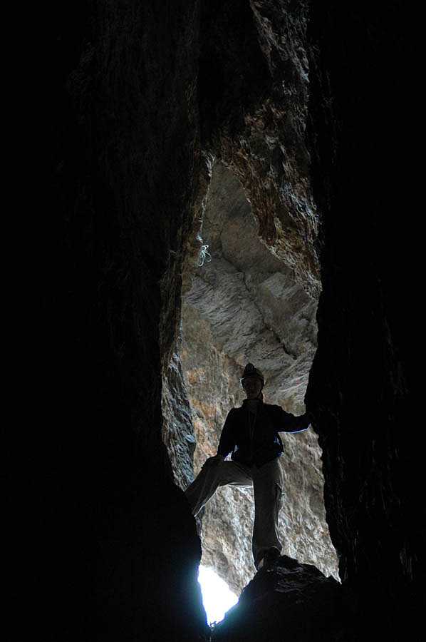
The last depression, however, was, in fact, a cave entrance. We crawled down into a space among huge rocks and followed a crawlway which led to a large, totally dark room. At the far end of this room we found a low crawl leading to a high, but narrow fissure. This went off left and right, so it looked like we had two good leads to more cave.
A few weeks later we returned to Carro Cave with Chris, Sonia, Alberto and Victor. Mapping the cave to the fissure took only a few minutes. Then, alas and alack, we discovered that further progress was very difficult off to the right and downright dangerous to the left, where you could upclimb to a higher level but above you were hundreds of rocks precariously piled one upon the other and looking like they would all descend if anybody sneezed.
|
Raul and Oscar
claim there are more and bigger caves in the area (best reached on horseback,
they say) but we are not holding our breath and I don’t see Chris reaching for
his survey tape.
|
 |
Chapuzon Revisited
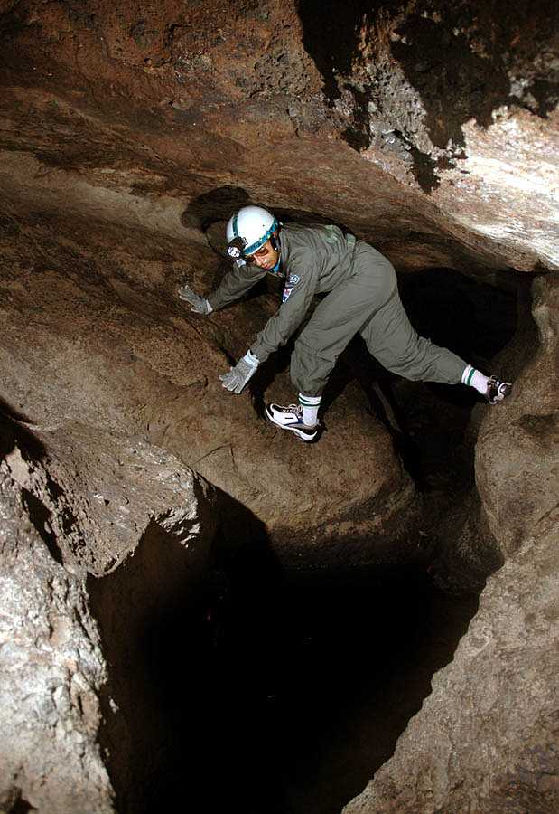
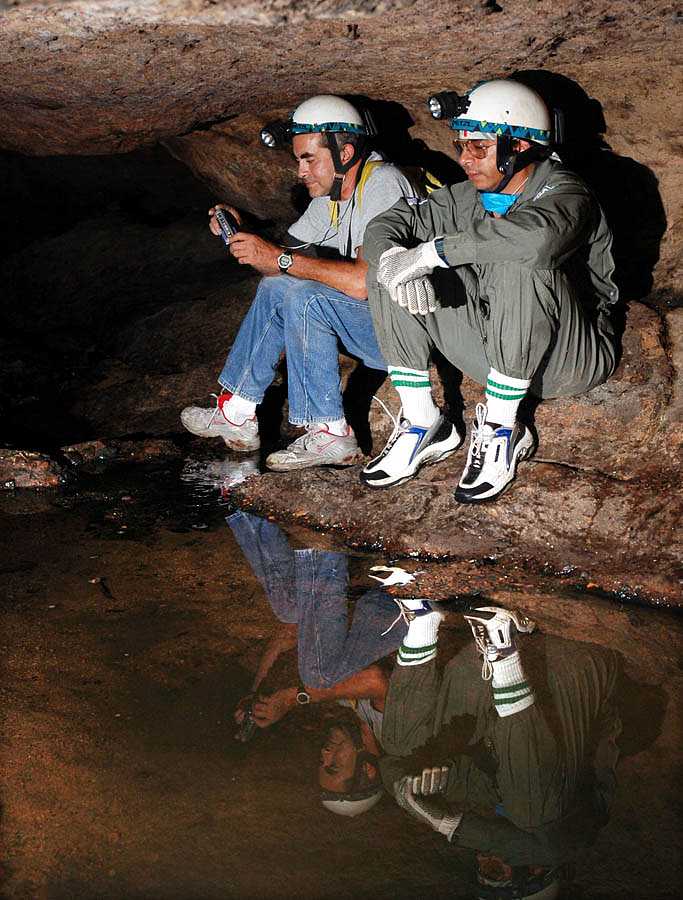
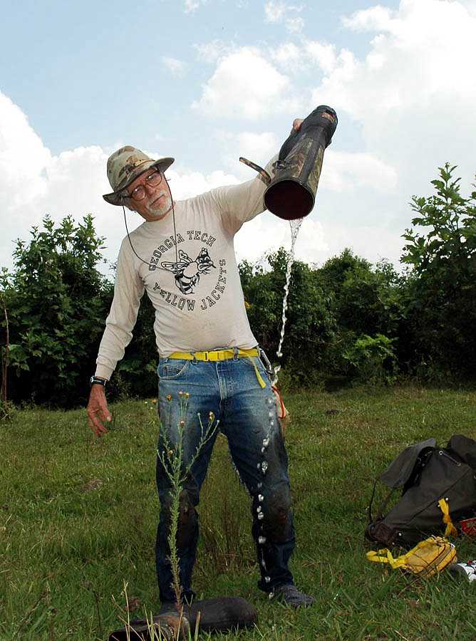
Chapuzon or Cold Dunk Cave is the only "river cave" located near Guadalajara. The river may not be very big, but it is cold and it is wet! You can read about our first misadventures in Chapuzon and our final conquest and mapping of the cave, at our Subterráneo website. In April, 2005, Pedro Fernández somellera and John Pint visited Chapuzon Cave to get the GPS coordinates for the tree-root entrance. A few weeks later, Jan Paul Vanderpas, visiting from the Netherlands, and John Pint (Zotz) took a “sonic” (not laser) distance-measuring device into Chapuzon Cave where they proved that such a device is utterly useless in a cave (unlike the Disto laser measurer, which was successfully used for dozens of cave surveys in Saudi Arabia). The "Strait-Line Sonic Laser tape” is deceptively misnamed, as its laser is only for pointing while the measurement is made by sound waves. The gizmo worked fine in a house, using a clipboard for the flat surface needed. However, in Chapuzon the same clipboard didn’t help a bit. The problem may be the echo or humidity of the cave or something else we have completely missed.
|
After weeping over
the wasting of twenty bucks on this futile project, Pint led Vanderpas out of
the cave through the Boulder Choke entrance whose GPS location was duly noted.
The pair then valiantly searched for and found the Slot entrance, noting its
exact location.
|
 |
|
In October, Luis
and Mary Rojas, Sonia Calvillo, Mario Guerrero and John Pint revisited the cave
in order to test the Pints’ new Nikon D70 in a cave.
|
 |
| The Nikon remote flashes worked out well for anything
a few meters away, but they don't fire far from the camera like
"peanut" slaves (not to mention Fireflies), so you have to fire them
manually.
|
 |
| We hope to take more pictures in Chapuzon Cave and to
feature it at the International Lava-Cave Symposium this coming July.
|
 |
Tequilizinta: Truly a Lava Cave
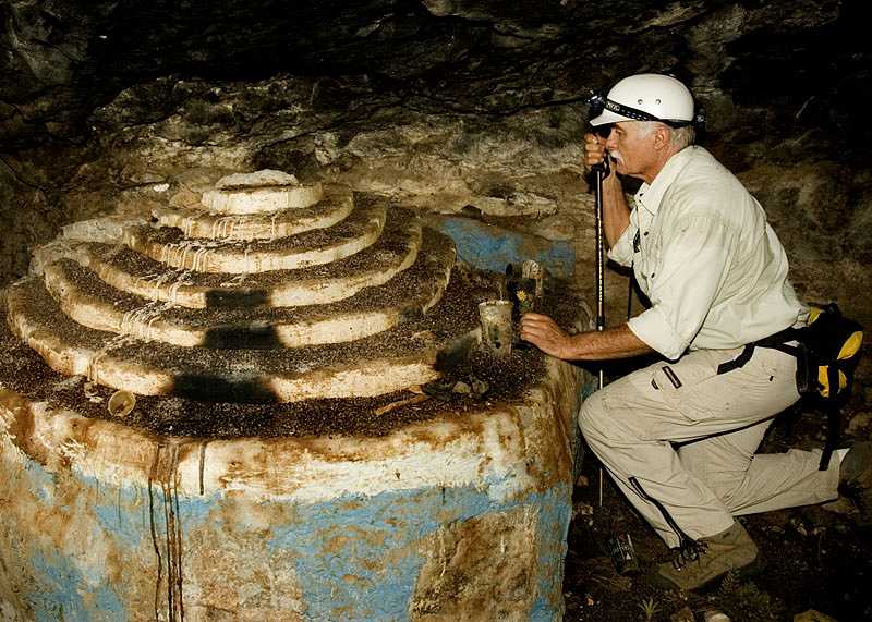
On December 20, 2005, Pedro Fernández Somellera, Sergi Gómez, John Pint and the entire Mohl clan headed for Cuata or Tequilizinta Cave with the aim of determining whether it is or is not a true lava tube. This cave, which is described in Subterráneo #6, is in a cliffside overlooking the Santiago River and was believed (by members of a possibly now defunct religious sect) to be one of seven places that will be spared when Doomsday comes. It also features one of the muddiest and stickiest rooms we've ever seen.
|
We discovered a
new and easier way to reach the trail to Tequilizinta and after some hunting,
found our way up to the cave. The altar is now covered with a layer of guano,
but otherwise, the cave looks about the same as it did when we filmed the
five-minute Zotz blockbuster movie, MUD, some years ago...
|
 |
|
...Crawling to the cave’s
delightful pool of vampire guano and water, we spotted small lava
stalactites on the ceiling, which seem to prove that this is a genuine lava
tube.
|
 |
Unfortunately, we did not have time to check out the state of the “ghost town” atop Tequilizinta Bluff. A subsequent trip by John and Susy Pint and Sonia Calvillo, convinced us that this elusive settlement is not exactly where John thought it would be, meaning the place is now more ghostly than ever.
|
|
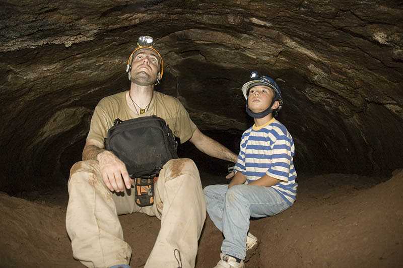 |
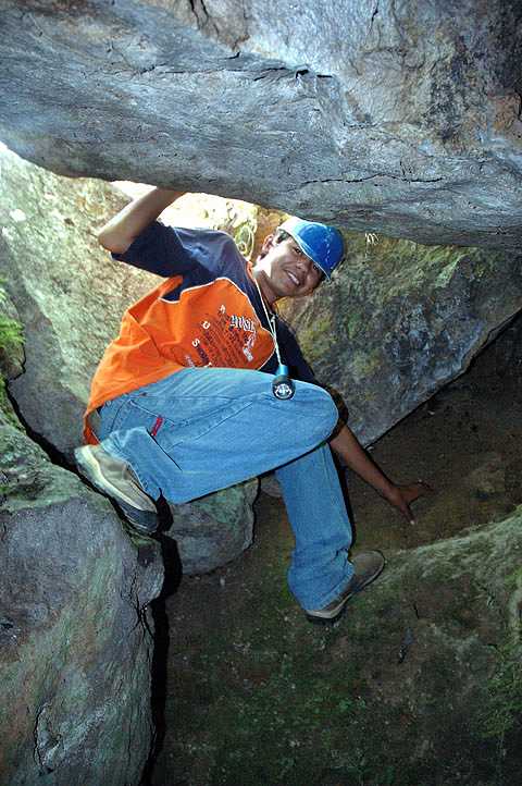
Chiquihuitón Cave: The impossible Climb and the Impassable passage
On Dec 4, 2005, Pedro and Celina Fernández Somellera joined Susy and me in an attempt to reach Chiquihuiton Fissure Cave. We drove to La Toma Valley, just past Tequila and had a nice chat with the owner of La Toma Swimming Pool.
|
While paging
through our book “Outdoors in Western Mexico” (which chides this place for its
noisiness) the owner said she would willingly turn off the blaring radio for
any weekday visitors requesting a bit of quiet.
|
 |
|
|
 |
|
We then went off
to hunt for a path to the cave. In the old days, we used to cut through the lush
La Toma orchard (when we were thin enough to squeeze through the bars of a small
side gate. Now they have added more bars to the gate, while the years have added
more fat to us, so we had to find ourselves a new access route to the cave. A
long walk with Pedro and Celina led us to the orchard guard, who showed us a path
supposedly leading up to the cave. This climb we had to postpone because of an
urgent need to gain a few more pounds at a fine restaurant in Tequila.
|
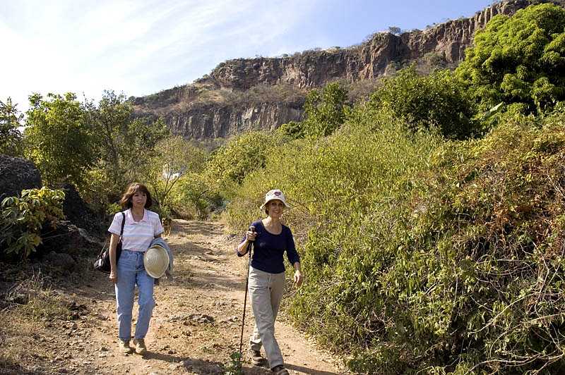 |
Later, I returned with Sergi and Sonia. We followed a nice path about 250 m north through an agave field sprinkled with big black volcanic rocks. The sharp needles normally found at the tips of the agave “leaves” had been thoughtfully trimmed, resulting in a pleasant—instead of excruciatingly painful—hike. But then we arrived at the bottom of the extremely steep slope, which must be climbed to get to the cave. At this point, the path vanished completely. “Well,” we said, “if we just head uphill, we are bound to intersect the old path…how could we miss it?”
Well, this all-too-close-to-90° slope is covered with a thick tangle of trees, weeds, thorns and cacti which we slowly penetrated, groping for skinny papelito trees and pulling ourselves upward. Halfway up what seemed more and more like a wall rather than a slope, we came to the conclusion we were never going to cross that infamous path and we had no choice but to keep inching our way upwards, sweating and cursing until we finally reached the top, where I flopped down on my back, like a fish out of water, huffing and puffing for dear life.
|
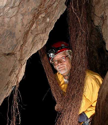
We soon found the
cave, whose entrance is located just below a natural bridge known locally as El
Arco. Chiquihuitón is a complex fissure, on several levels. We have mapped
hundreds of meters of it, but there are still plenty of passage awaiting the
measuring tape. The purpose of this visit was only to get the GPS location of
the entrance and a few pictures of the long roots which hang down from the
ceiling in several parts of the cave.
|
 |
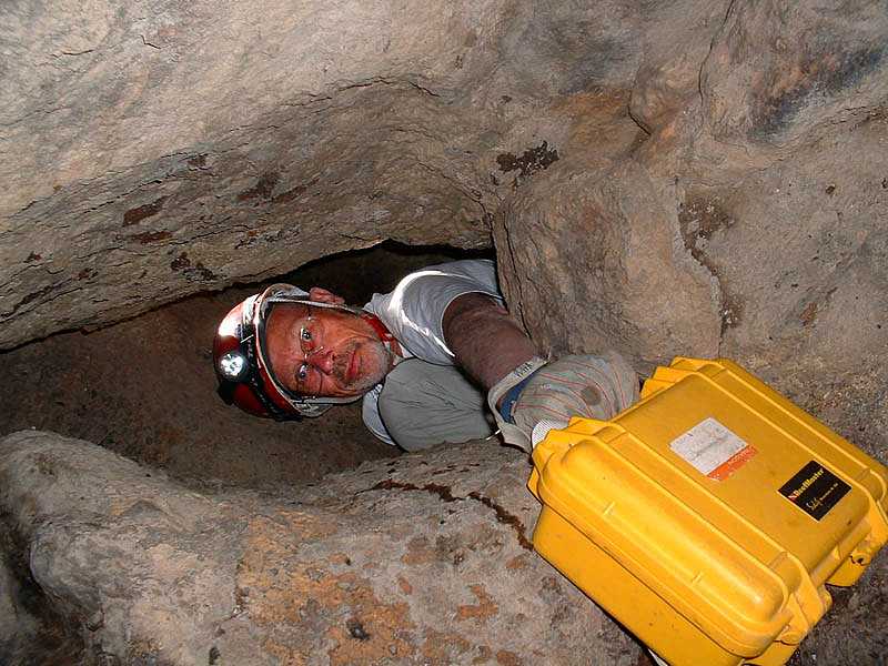
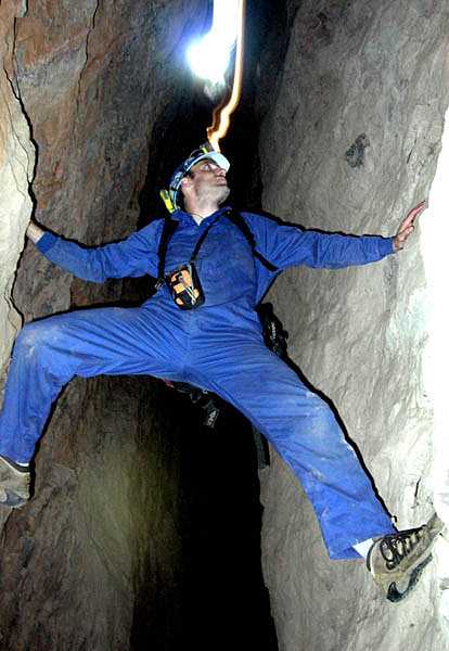
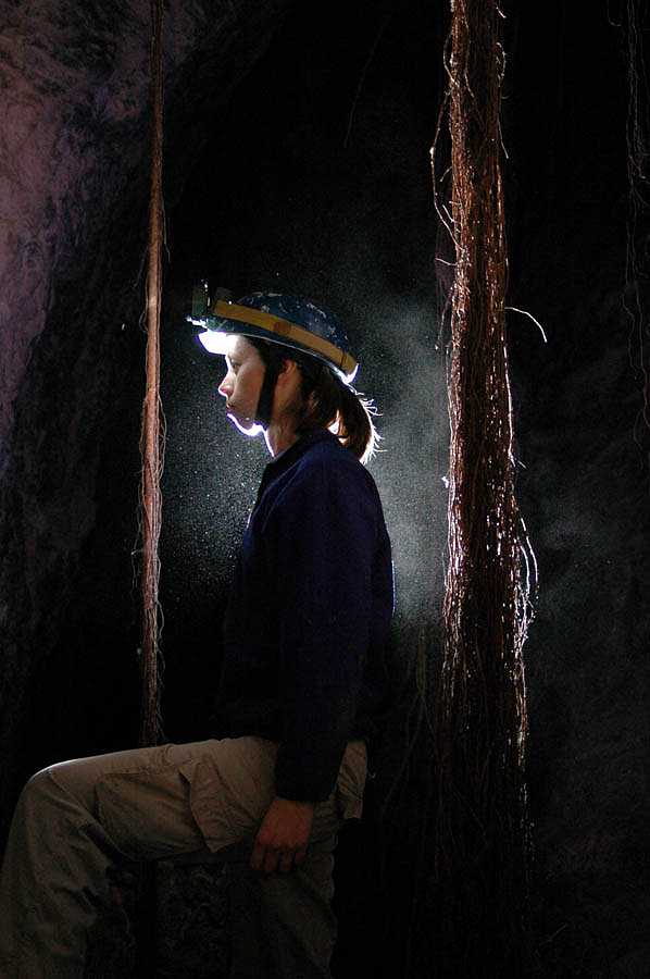
| ...We entered the
cave by climbing down a little drop into a long crack and crawled through a low
spot out of which cold air was blowing. This gets you into the complex system of
fissures to which there seems to be no end.
|
 |
|
Only a few meters inside, we came to the
Ham Slicer, a vertical slot through which we all used to pass in the old days.
Ah, well, those days are gone for good: I couldn’t fit!
|
 |
|
So, I had to be content to find my
own roots, while Sonia and Sergi went on to take some stunning shots deeper
inside the cave.
|
 |
|
|
 |
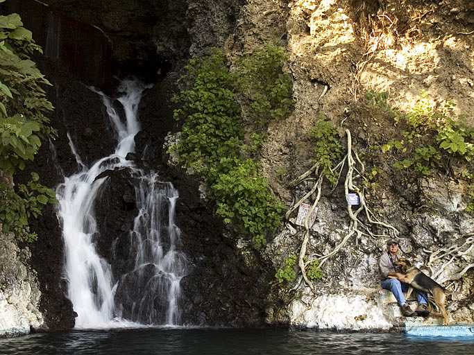
Of course, on the way down, we found our mislaid path. As we descended “decently” we could appreciate the stupendous view from the ridge. We could see blue agave fields, bonete trees with their green, bomb-shaped fruits and across the valley, shooting out of a hole in the opposite wall of the canyon, we could see a mighty waterfall. Here is a really challenging cave which has not yet been explored… Andale, Sergi!
John Pint