|
By John Pint
Sabius
is a unique, Guadalajara-based organization that assists senior
citizens who want to offer talks or courses in their field of
experience.
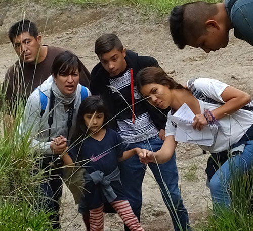
Recently, Sabius found me 13 hikers interested in testing out my
“Virtual Interpretive Trail” through Arroyo el Carbón Slot Canyon,
located at the northern edge of the Primavera Forest, just south of the
town of La Venta del Astillero.
This three-kilometer loop has no physical signs explaining what you are
seeing. Instead, the route, photos and explanations are all online and
downloadable into your smartphone. For this hike, I also passed out to
each participant a printed map of the trail with descriptions of 22
points which either present trees, plants and geological features, or
ask the hiker to identify what he or she has seen earlier on the walk.
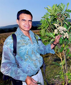
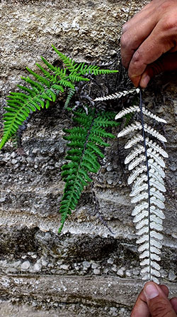
This system helped participants recognize some of the trees commonly
seen in the Primavera Forest, such as the yellow oak (Quercus resinosa),
the clethra Tree (Clethra
rosei) and the extraordinarily beautiful Michoacan pine (Pinus devoniana),
along with native plants like the Agave
guadalajarana, maidenhair ferns and wild sage.
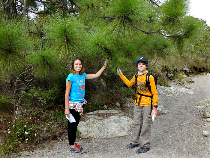
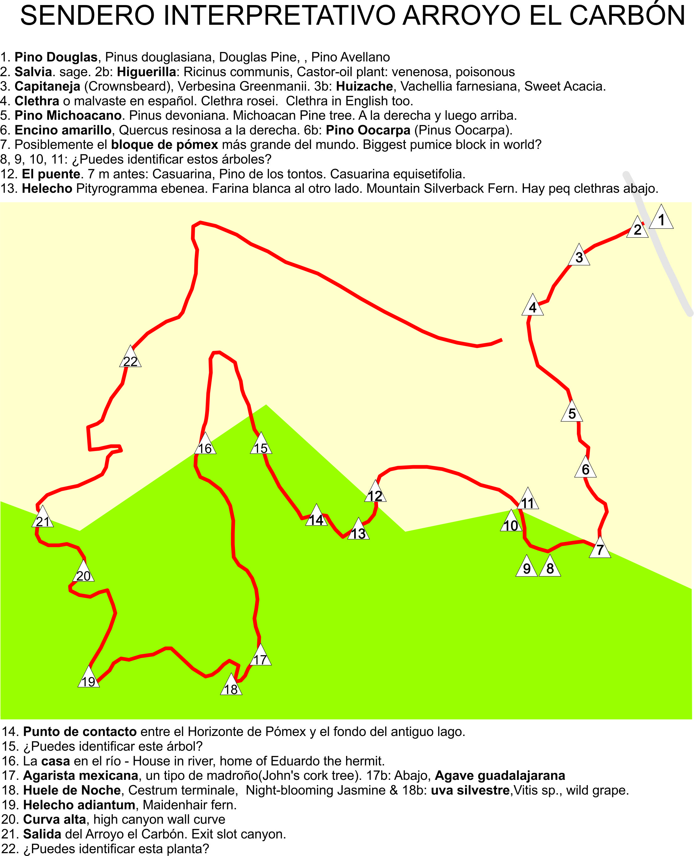
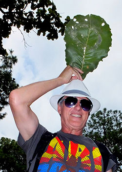
Kristina and Cristhian with
Michoacán Pine Tree
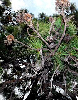
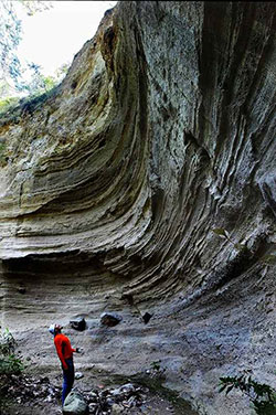
Also marked along the
route are geological features such as the huge blocks of pumice common
to this area and various contact points between the Giant Pumice
Horizon and the bottom of a lake which once filled the Primavera
Caldera. The identification of flora was done on an earlier hike by a
CUCBA botanist, Professor Miguel Angel Muñiz, while Canadian geologist
Chris Lloyd identified the rock formations. To both I am eternally
grateful.
An unexpected plus on this particular hike was the spotting of a
rattlesnake on the trail side. Fortunately, the snake was in good humor
and didn't even wiggle its rattle at us, allowing the hikers to catch a
glimpse of it and even take a few photos. This was only the second
rattlesnake I've seen the Primavera Forest over many years of hiking
there.
The floor of the slot canyon was wet in some places and the walls were
rich in ferns, moss and fungi. The group completed the loop in three
hours, accompanied the entire way by Lisandro Baeza, a first-aid expert
which Sabius found for me, on loan from a Tec de Monterrey student
group called AUXILIATec. Commented hiker Laura Badillo: “I
learned everything about trees! I didn't have a clue before, and this
turned out to be a good way to start learning.”
If you would like to experience the Carbon-Loop Virtual Interpretive
Trail on your own, just download “si2
Arroyo el Carbon” from Wikiloc.com to the Wikiloc app on your
smartphone. Then print the map shown on this page. You can
also download photos of the trees and plants (with numbers
corresponding to the map) from the same site.
How
to get there
Take Avenida Vallarta west out of Guadalajara. Ten kilometers past the
Periférico, make a U-turn in La Venta del Astillero and, immediately
after the Pemex station, enter Pinar de la Venta. Follow Paseo de los
Fresnos south 1.1 kilometers to N20.72098 W103.53413 where you can park
under douglas pines next to an unused Gate House. Go through the gate
just below you and head south, following the trail using Wikiloc and
the map you downloaded. Driving time from the Periférico to the trail
head: 20 minutes.
|